
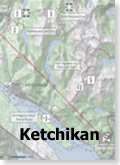
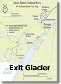
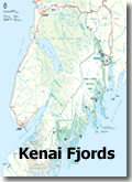
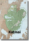
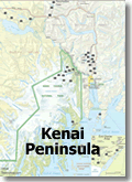
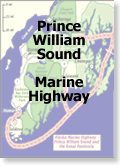
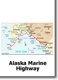
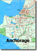
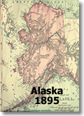
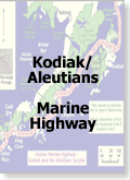
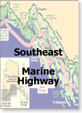
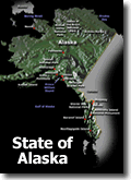
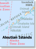
Maps of Alaska
The State of Alaska is situated in the northwest extremity of the North American continent. Bordering the state to the east is Yukon, a Canadian territory, and the Canadian province of British Columbia, the Arctic Ocean to the north, and the Pacific Ocean to the west and south, with Russia (specifically, Chukotka Autonomous Okrug and Kamchatka Krai) further west across the Bering Strait. Alaska is the largest state in the United States by area, the 4th least populous and the least densely populated of the 50 United States. Approximately half of Alaska’s 735,132 residents live within the Anchorage metropolitan area. Alaska’s economy is dominated by the oil, natural gas, and fishing industries, resources which it has in abundance. Tourism is also a significant part of the economy.
Leave A Comment
You must be logged in to post a comment.